
Site information
Topographical surveys
Detailed site information to support planning, design and consent work.
Clear information.
Practical next steps.
A topographical survey records the visible features, levels and form of a site. GSL uses GPS and robotic surveying equipment, supported by current property and spatial information, to prepare useful plans and data for the next stage of work.
Discuss your project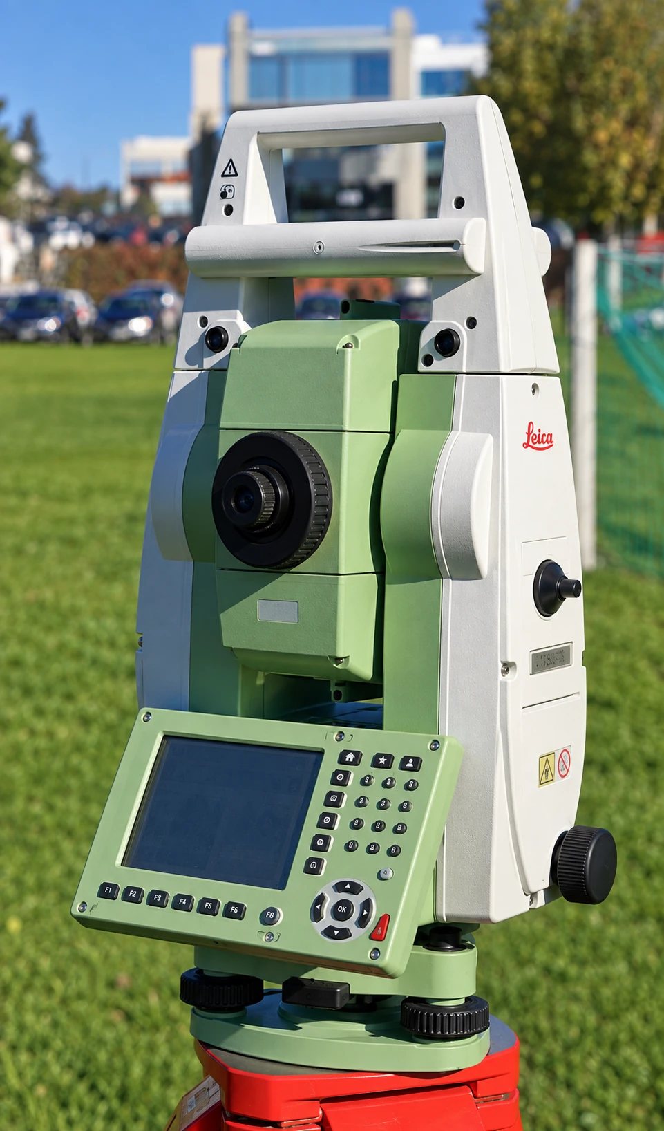
Capability
Work GSL can provide
- 01Existing ground levels
- 02Visible site features
- 03Information for civil design
- 04Subdivision and development input
- 05Coastal and marine survey applications
Start with the site
Planning a project?
Tell us what you are working with—and what needs to happen next.