
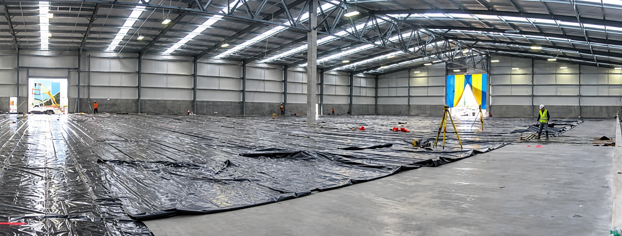
Whangārei · Northland
Surveying the ground.
Engineering what comes next.
Land surveying, civil engineering and land-development expertise for projects across Whangārei and wider Northland.
Connected capability
One site. Several technical stages.
GSL combines surveying, engineering, planning and project delivery to help land and construction projects move from initial site information to completed works.
That breadth matters when each stage depends on the accuracy of the one before it.
Core services
Built around the work,
not departmental silos.
Surveying
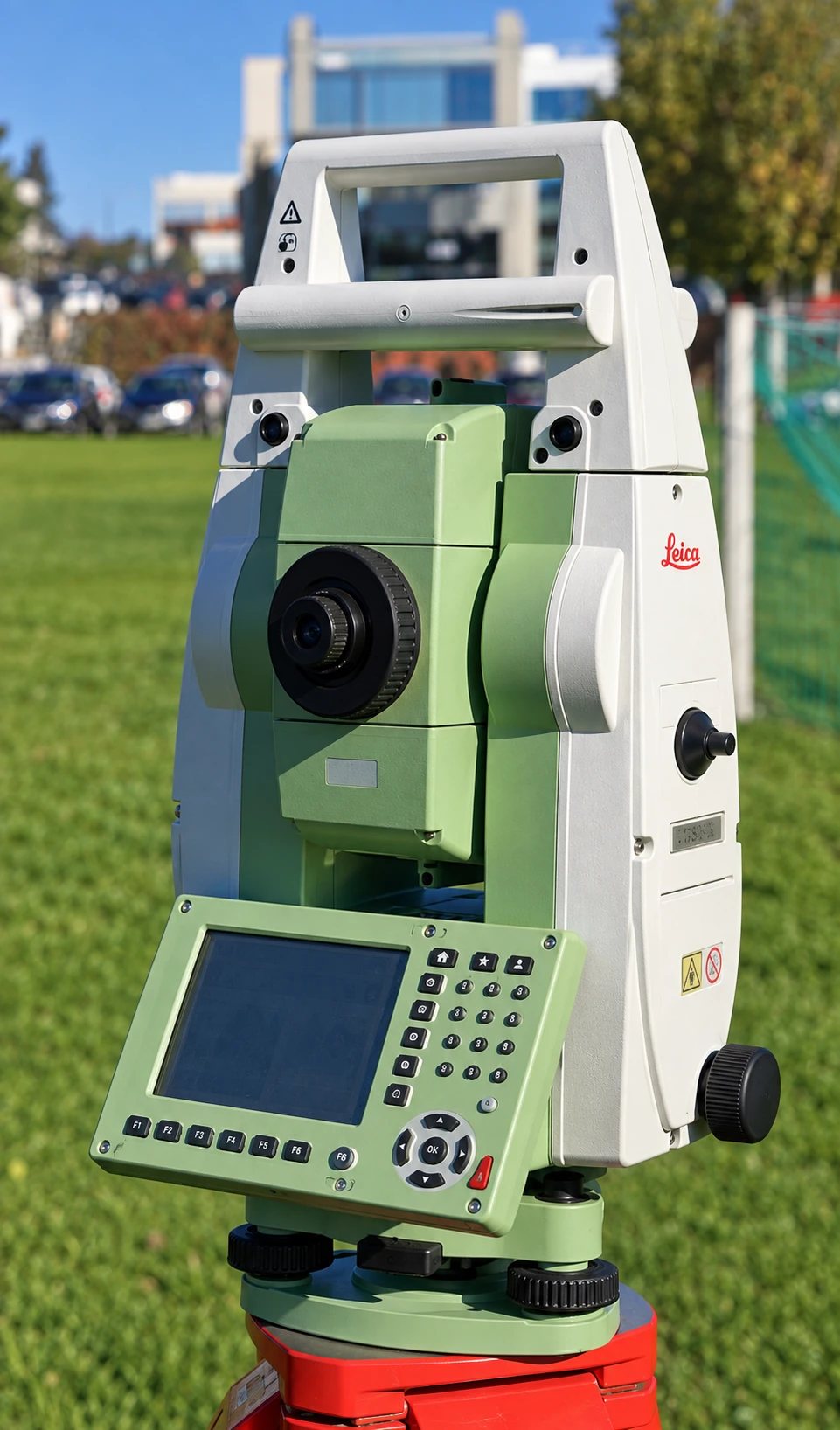
Topographical surveys, boundary work, GPS surveys, set-out, as-builts, monitoring and coastal work.
↗02Land development
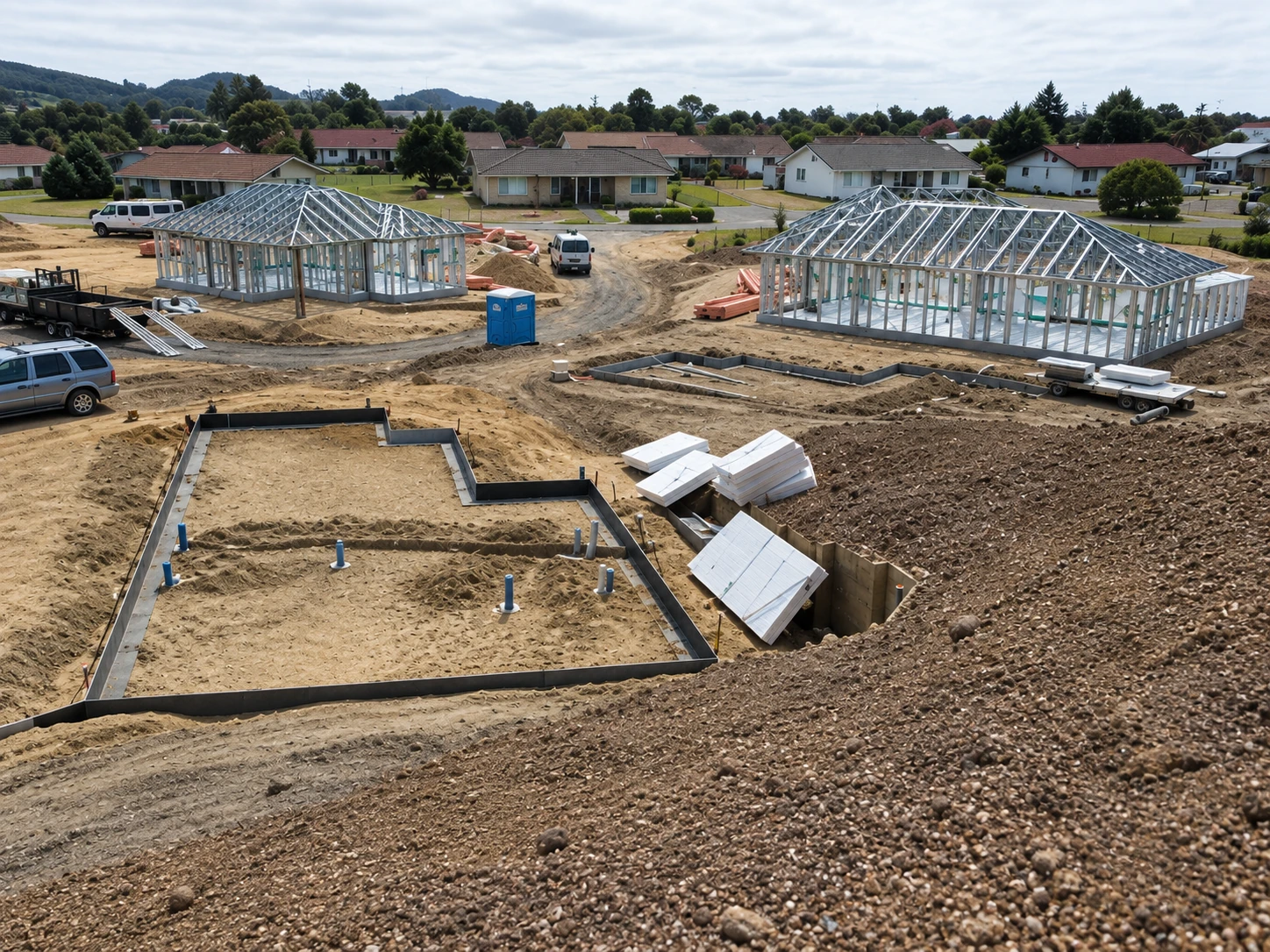
Subdivisions, land-use consents, resource consent planning and site information.
↗03Civil engineering
Earthworks, stormwater, wastewater, roading, infrastructure and engineering set-out.
↗04Project delivery
Project management, contract supervision and construction coordination.
↗
From land to completion
A clear line through the project.
GSL can contribute at several connected stages, depending on what the site and project require.
- 01
Understand
Survey and site information
- 02
Plan
Land development and consent requirements
- 03
Design
Engineering and technical plans
- 04
Deliver
Set-out and project support
- 05
Verify
As-builts, monitoring and completion records
Grounded in Northland
Local work, measured in real conditions.
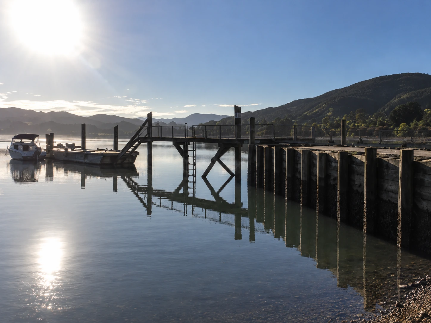
GSL is based in Whangārei and works across the wider Northland area. Its portfolio spans rural land, subdivisions, commercial construction and coastal environments.
About GSL ↗Why GSL
Capability you can see
in the work.
Survey + engineering
Connected technical input across site information, design and construction requirements.
Modern field equipment
GPS and robotic surveying equipment, supported by current property and spatial information.
Project experience
Recorded work across subdivisions, roading, earthworks, stormwater, wastewater, buildings and coastal sites.
Start with the site
Planning a project?
Tell us what you are working with—and what needs to happen next.