
Coastal surveying
Coastal & marine surveys in Northland
Specialist survey work where land, tide and local datums meet.
Clear information.
Practical next steps.
Coastal and marine surveying can require tidal observations, local benchmarks and careful conversion between chart information and local height datums. GSL’s Waikare Inlet work included a topographical survey, tidal boundary information and plans for consented jetty and riparian works.
Discuss your project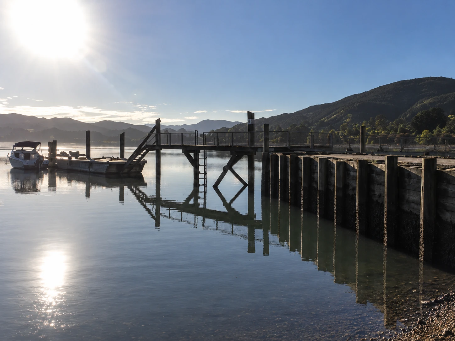
Capability
Work GSL can provide
- 01Coastal and marine surveys
- 02Tidal observations
- 03Local datum heighting
- 04Mean spring tide limits
- 05Topographical information
- 06Plans for coastal consent work
Start with the site
Planning a project?
Tell us what you are working with—and what needs to happen next.